Over on his Renaissance Mathematicus blog, Thony Christie has written a typically entertaining and informative post about the sixteenth-century cartographer Abraham Ortelius. (If you don't follow Thony's blog, then you jolly well ought to.)
I can't add anything of any value to Thony's post, but it did remind me that, earlier this month, I photographed three wonderful seventeenth-century maps in the Doge's Palace museum in Venice. So I thought I'd post them here (even though the lighting was dreadful). The first one looks as if it belongs in Indiana Jones's dad's notebook.
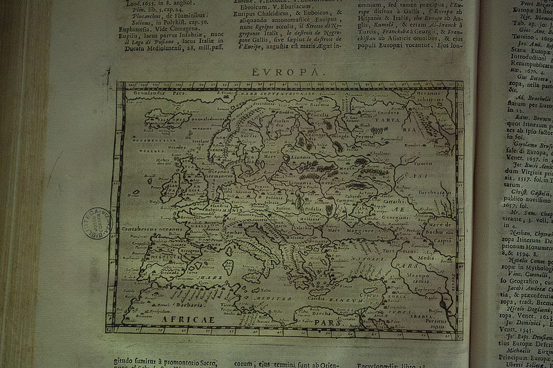
1674, Trevisto
Giuseppe Rosaccio, Europa, in Giuseppe Rosaccio, ‘Teatro del cielo e della terra’, Trevigi 1674
Carta geografica a stampa, inserta in volume
Venezia, Biblioteca del Museo Correr
Italian caption accompanying exhibit:
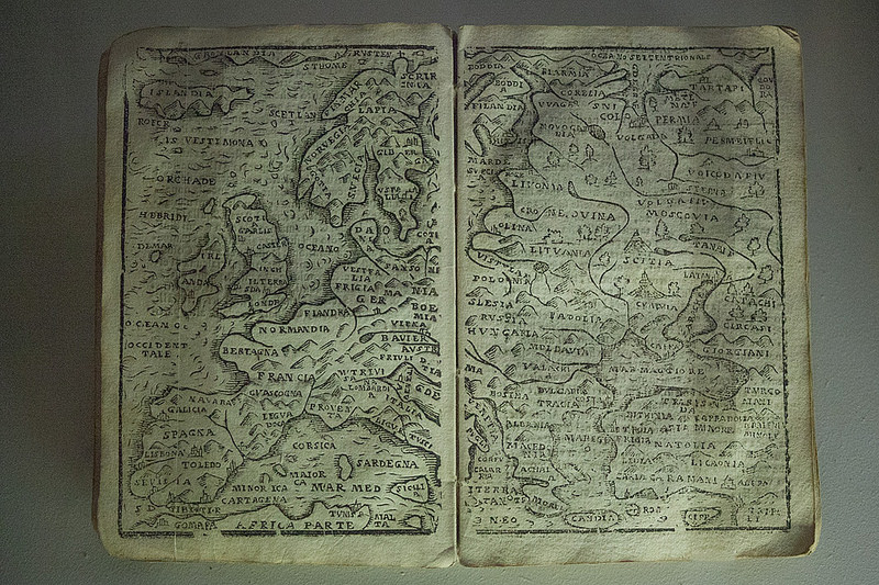
1593 Anversa
Philip (Philips) Galle, ‘Europa’, in Philip Galle, ‘Theatro d'Abrahamo Ortelio ridotto in forma piccolo’, Anversa 1593
Carta geografica a stampa, inserta in volume
Venezia, Biblioteca del Museo Correr